
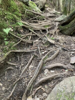
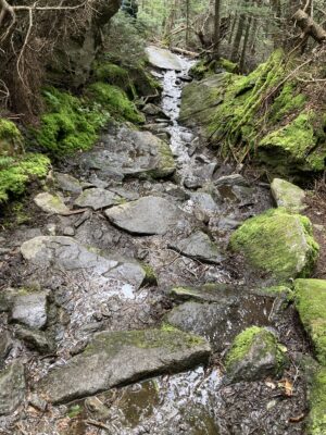
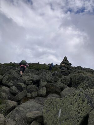
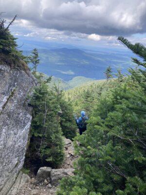
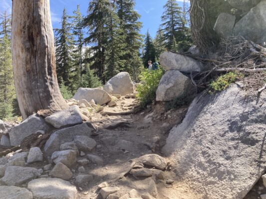
On August 11, Juliet, our friend Ellen, and I hike Mt. Madison, part of the Presidential range in the White Mountains of New Hampshire. It is 5,367’ high, 8 1/2 miles long and has an elevation gain of 4000’. We take the Airline Trail up. Covered with immense boulders, navigating is quite a challenge, especially for one so short. Those are mighty big steps I have to take, hoisting myself up one big rock after another. To complicate matters, due to the many brooks running over the trail, the rocks are wet and slippery, often interspersed with mud puddles. In addition to the boulders, there are many gnarled roots criss-crossing the path.
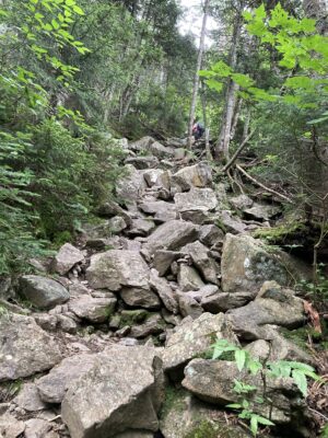
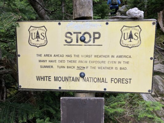
In this regard, hiking in the Whites is different from in most other mountains. It involves mental as well as physical exercise. One has to pay strict attention to every step in order to figure out where to put one’s feet, so as to avoid taking a tumble. One must also be very attentive to the weather. Even though the Presidentials are not tall, they are in the alpine zone where it can suddenly rain or hail with fierce wind, although the forecast may have been for sunshine. The predictions are notably unreliable and many have died in these mountains.
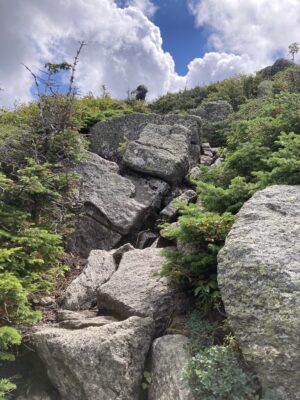
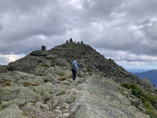
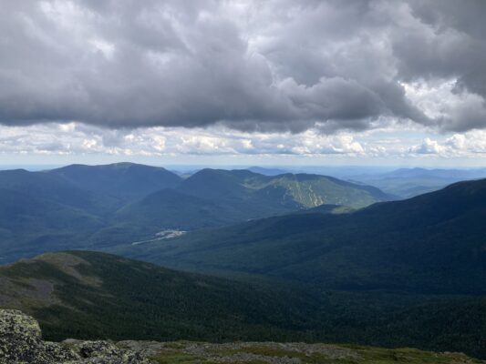
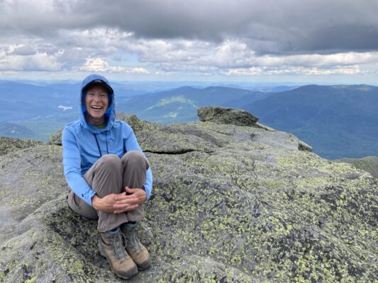
It takes us 4 1/2 hours to reach the Madison hut, and while the summit is only half a mile further up, I give up on using my poles and instead use my hands to scramble to the peak. After a brief stop and its spectacular view of the other Presidentials, we head back down on the Valley Way Trail which has fewer boulders but still an elevation loss of the same 4,000’. The entire hike takes 10 hours. I vow I am finished with 10 hour hikes!
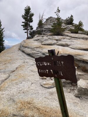
Less than two weeks later, Juliet takes me to Yosemite NP to celebrate my 75th birthday and to hike Clouds Rest, an iconic overlook of Yosemite Valley. At 9,926’ in elevation, 14 1/2 miles long with an elevation gain of 2300’, it is quite an undertaking.
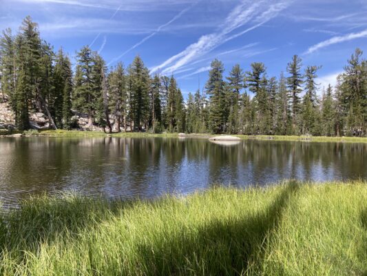
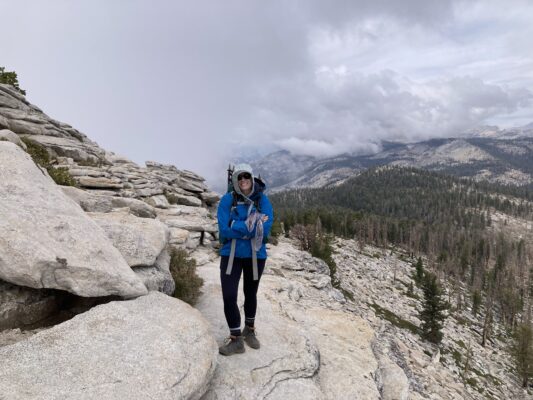
When we start the out-and-back Sunrise Trail beginning at Tenaya Lake on Highway 120, it is 46 degrees. The woods are thin and scrubby, the trail largely exposed. Unlike in the White Mountains where the trails are heavily forested until tree line, trails starting off Highway 120, are already close to or above tree line.
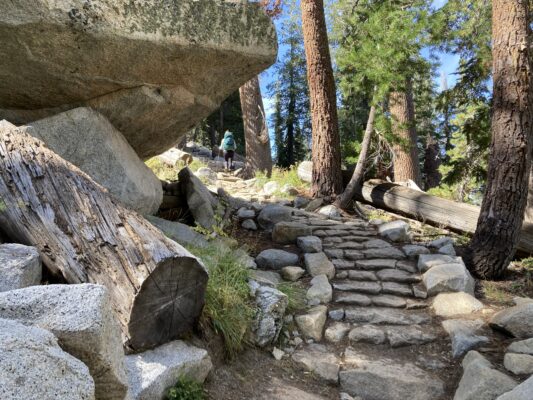
On the way out to Clouds Rest, the trail seems much tamer than Madison: boulders are smaller, less intimidating; fewer roots and other obstacles; level areas where one can take normal strides. That is, until we come to an enormous mountain of rocks, just like Madison, to get to the overlook. Again, I put away my poles and scramble the rocks by hand. It is a humbling experience.
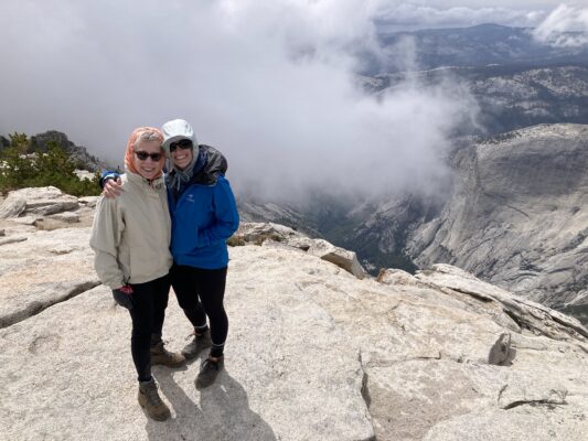
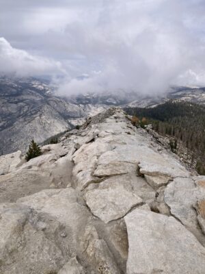 When we arrive at Clouds Rest after 5 hours, the 360 degree view leaves me speechless.
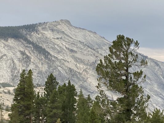
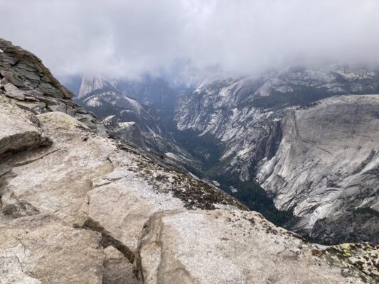
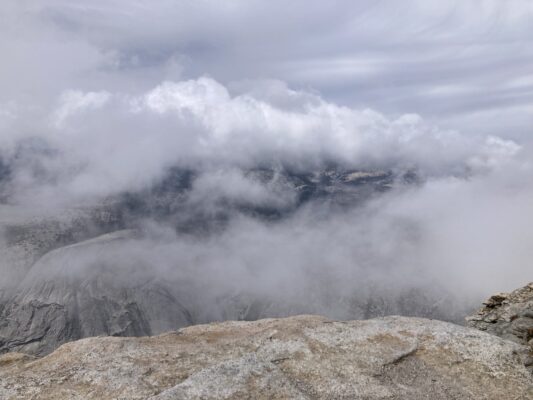
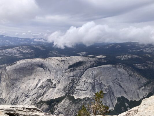
 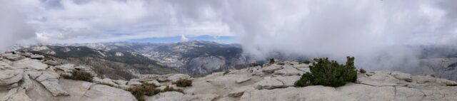 Layer upon layer of massive granite mountains as far as I can see. And just then, the clouds start rolling in, so appropriate given the name of the place, softening the views, enveloping us. It is 43 degrees.
The return seems much more challenging than the way out: the rocks bigger, the trail steeper and less navigable. And so ends another 10 hour hike. This time, I expect to keep my vow to stick to shorter hikes!
2 Comments
You are amazing. I don’t know any 75 year olds doing what you doing.
Somehow I think there are still many 10 hour hikes in your future thanks to your inspiring daughter and your bada** persona. As always, I’m impressed!!