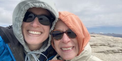
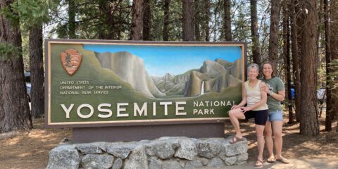
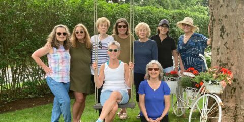
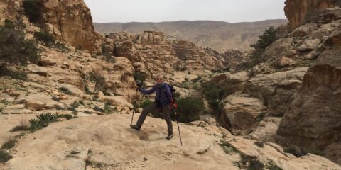
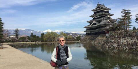
I have long wanted to visit Mongolia. I was drawn by its remote location and uniqueness relative to other places I’ve traveled. So I curate a trip for me and friends and go to Mongolia with Sue, Carrie, and Raphael, perfect traveling companions.
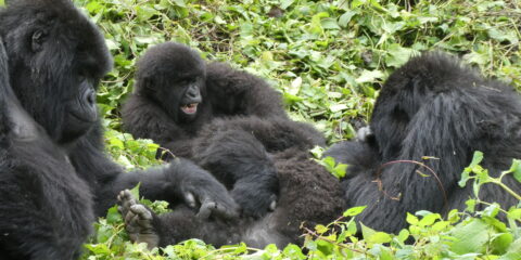
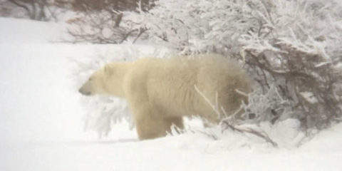
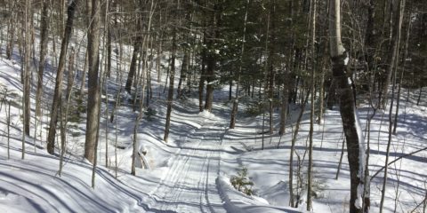
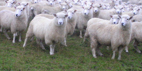
Located between Russia to the north and China to the south, Mongolia is a very large, landlocked country, about the size of Alaska, yet the population is small, only 3.6 million people, half of whom live in the capital, Ulaanbaatar. The other half, mostly nomads, is widely dispersed. There are 58 million animals in the country with more horses than humans; 500,000 camels; over 850,000 yaks, 10-20,000 wolves, sheep, goats, cows and more. The winters are frigid and lengthy with temperatures dropping to as low as 50 degrees below zero. Ulaanbaatar is reputed to be the coldest capital city in the world. In the very short summer months, everyone is outside taking advantage of the warm weather and nature (although on June 19, in Ulaanbaatar, the temperature is 32 degrees and snowing. I am definitely not prepared for this!). We have a brilliant Mongolian guide who knows an astonishing amount of Mongolian and world history that is broad and deep.
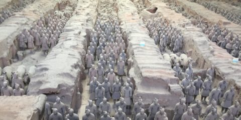
As with many countries, Mongolia has a complex history. Civilization here goes back more than 4,000 years. Beginning in 1206, it was the most powerful country in the world. Chingiss Khan (known in the west as Genghis Khan), a nomad, succeeded in uniting the many Mongol tribes and became a feared and fearless leader of the Mongols.
His empire lasted until 1368. He and his four sons conquered much of Europe, Asia, northern Africa, and the Middle East during that time. Their style of warfare called for riding horses at great speed for many miles at a time, using bows and arrows to kill their enemies at a distance of 300 yards away. They never lost a battle. After Khan’s empire fragmented, Mongolia came to be ruled by the Yuan dynasty, and subsequently the Qing dynasty. Russia claimed hegemony over the country bringing Communism in 1924 and it was not until 1992, that Mongolia became a parliamentary democracy.
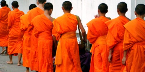
Buddhism began being practiced in Mongolia during the Yuan dynasty but the Mongols subsequently returned to the practice of Shamanism. Buddhism re-emerged in the 16th and 17th centuries. In more recent years, Mongolians adopted a combination of the two practices, known as Yellow Head Buddhism. We converse with a young Buddhist monk who answers our many questions and later watch a Shaman perform a ritual as if possessed by spirits.
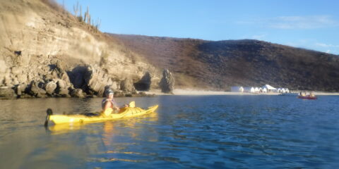
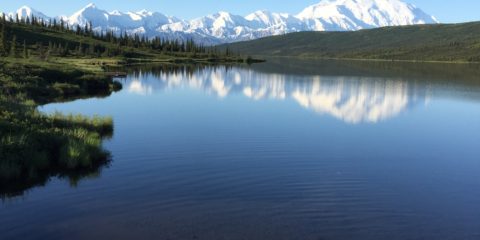
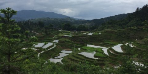
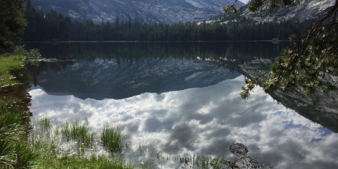
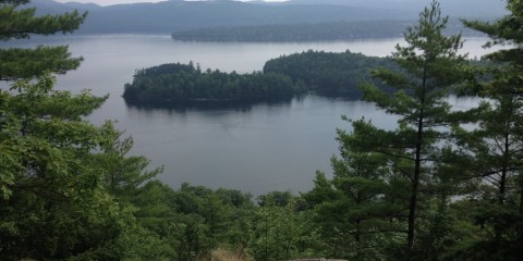
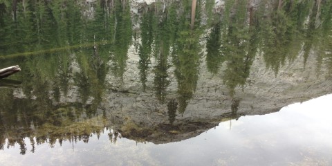
After leaving Ulaanbaatar, we fly north to Lake Khuvsgul, the second largest freshwater lake in all of Asia. It is 84 miles long and 22 miles wide.
We sleep in a ger overlooking the lake. It’s like indoor camping. The door is hobbit-size. Even I have to duck!
We speed by boat across much of the lake and visit a reindeer-tending nomad living in the woods in a teepee, and making beautiful carvings out of reindeer antlers.
We spend time with a prosperous nomad and his beautiful family who have a ger resort on the lake and a herd of horses for guests to ride, and who warmly welcome us strangers into their ger and graciously serve us freshly made yogurt and a delicious dessert called Khailmag.
We attend a performance of traditional Mongolian song and dance and hear the unusual throat singing indigenous to the country. After leaving the lake, we visit a bronze-age burial ground with its granite gravestones still standing.
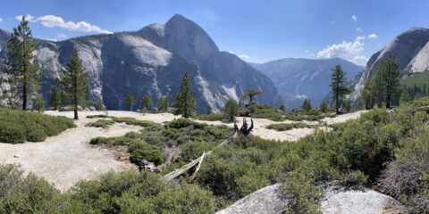
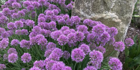
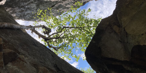
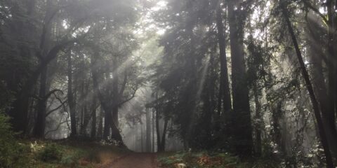
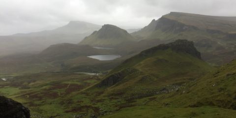
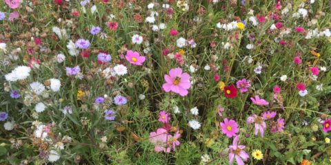
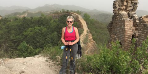
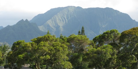
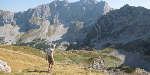
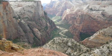
Returning to Ulaanbaatar on a stunning day, we hike Tsetsee Gun mountain through a handsome forest to the summit at over 7600’. When the forest gives way, we are treated to thousands of gorgeous wildflowers in full bloom swaying in the soft breeze.
The next day, we visit a Buddhist monastery lovingly rebuilt after the Communists destroyed it and many others.
Later, we see the recently constructed Chingiss Khan statue built of steel, standing solitary in a large open field at a height of 131’. We are able to climb to the top of the horse’s head on which Chingiss rides and view the surrounding area.
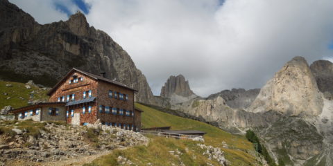
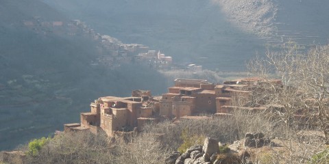
Next, we fly to western Mongolia. There are so many highlights here and the most memorable is meeting an eagle hunter. We drive a long way on a rocky dirt road through stark mountains to a river valley that is flat and wide. The eagle hunter demonstrates how he trains the Golden Eagle and we have the unexpected thrill of holding the 11 pound bird on our leather-gloved arms. Horseback riding is another highlight.
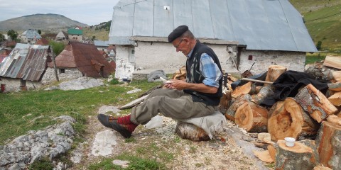
After three days in the west, we depart our family-run ger camp where we have been cared for with delicious food and locally-crafted Kazakh accommodations.
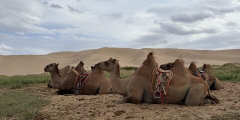
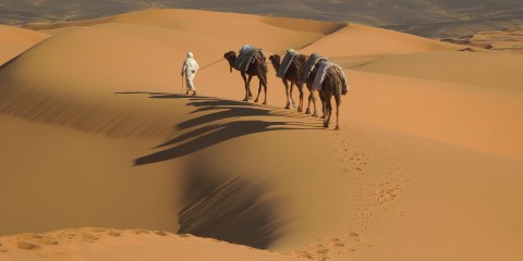
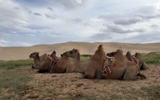
We fly back to Ulaanbaatar, and begin our overland journey into the Gobi Desert. At twilight, a herd of Bactrian (two-humped) camels crosses our path and we are overjoyed to see them.
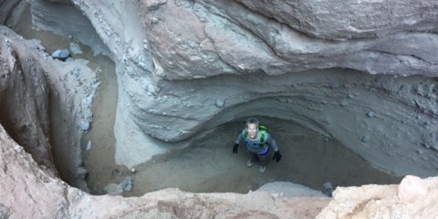
At 6:00 the following morning, we set out on a 4 mile hike through the desert and are surprised by what our guide calls a white stupa but in fact is a canyon of many colors carved by the wind and rain. A bonus is listening to a couple in the canyon making a music video, the woman with an ethereal voice and the man throat singing, the combination exquisite.
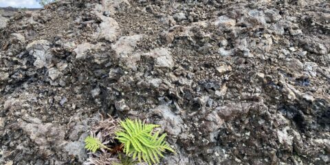
Driving through the desert is another thing entirely. There are many dirt tracks, the terrain is back-and-neck-wrenching, and even the driver has to ask for directions from a nomad on a motorcycle. I’m glad I’m not driving! We visit archeological sites covered with ancient petroglyphs of horses, deer, ibex, camels, and humans.
We drive deeper into the Gobi and are surprised to see that the desert isn’t all sand. There are areas of green and many mountains. We visit a camel-owning nomad and go riding on his Bactrian camels wedged between their two humps and afterwards, climb the high dunes in bare feet. The wind is fierce, covering us with sand from head to toe.
At night the wind howls making me wonder if the ger will withstand the onslaught. It is quite an adventure! The next day we visit the Flaming Cliffs, known for the discovery by archeologists in 1922 of an abundance of dinosaur skeletons and eggs. Absolutely fascinating!
On our final day, we first go to Hustai National Park and see the Takhi, the only remaining wild horses in the world.
We attend a Naadam, a celebratory festival of the national competitive sports of horse-racing, archery, wrestling, and other unique-to-Mongolia games involving the breaking of a dead bull’s neck bone by the hands of young men and another using the ankle bones of sheep and goats. There’s also cake-making and a philosophy game played by monks.
A most memorable and truly adventuresome trip!